Capabilities
One flight. Every deliverable.
Cinematic Aerial Video
Brand films, property tours, event coverage, and social-ready vertical cuts — captured, graded, and delivered in the formats your team actually uses.
High-Resolution Stills
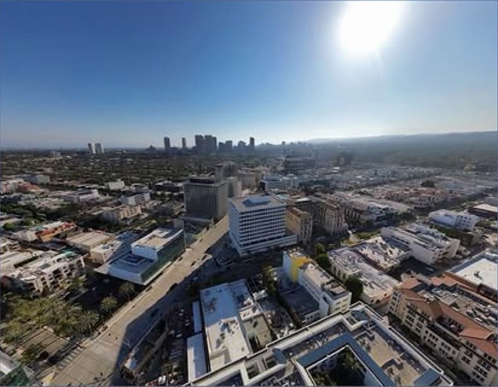
Overhead, oblique, and elevation imagery for listings, marketing, permitting packets, and progress documentation.
GIS & Mapping Imagery
Structured flight patterns for orthomosaic-ready image sets, site overviews, and repeatable progress captures over the life of a project.
Construction & Development
Scheduled site documentation that tracks phases over time and gives stakeholders a clear, dated visual record.
360° & Immersive Capture
Full-sphere panoramas and little-planet renders for interactive site tours, virtual walkthroughs, and web experiences.
Public-Sector Projects
Municipal, infrastructure, and agency-adjacent documentation handled with clear scoping, safe flight planning, and organized deliverables.
Motion
Aerial video work
Selected clips from commercial flights. Tap any clip to play with sound off by default.
Stills
Aerial photography
How it works
From scope to delivery
Scope
We align on the site, the deliverables, and how the footage will be used.
Plan
Flight planning, airspace review, timing for light, and on-site coordination.
Capture
Video, stills, 360° sets, and mapping passes captured in one organized session.
Deliver
Edited video, graded stills, and organized raw files delivered in your formats.